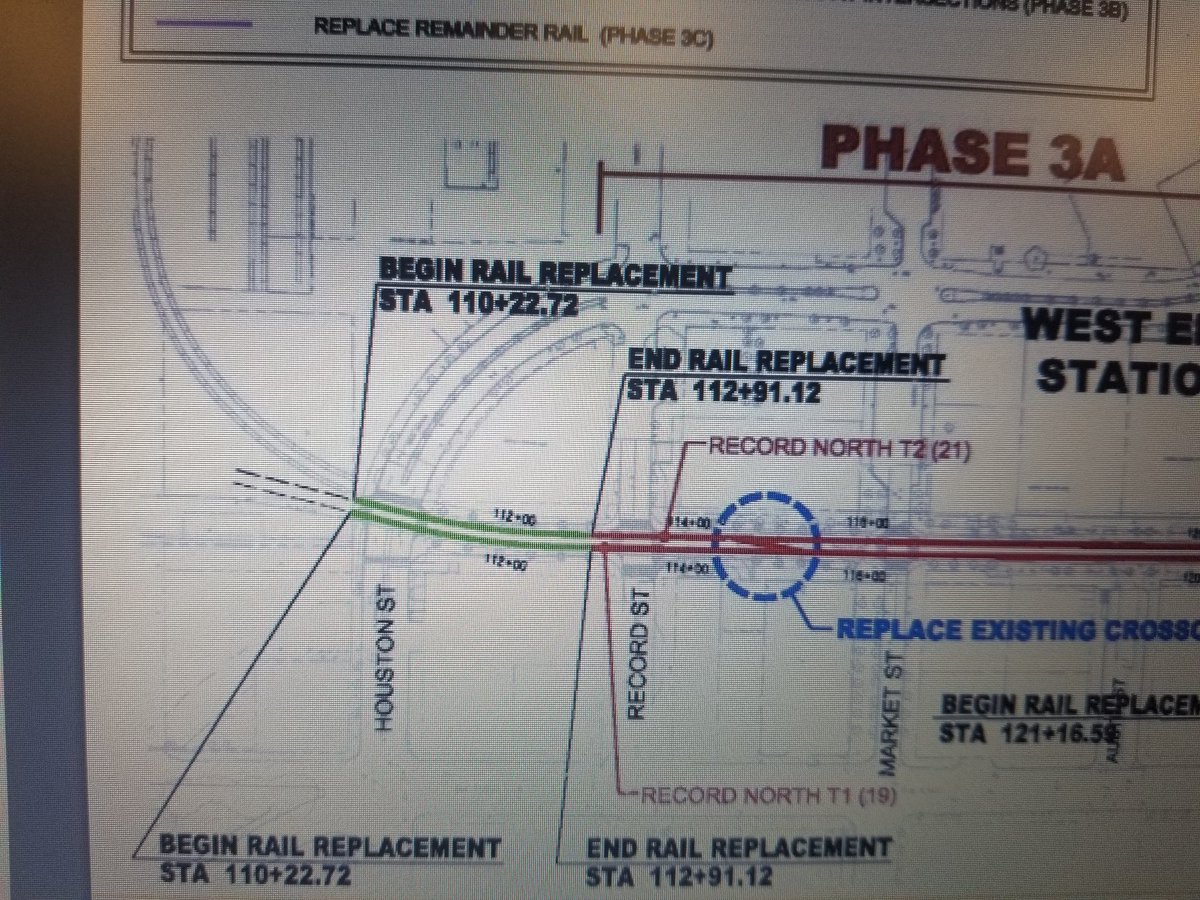
Houston St & Ross Ave
Posted: 09 Jan 2019 17:52
Anyone remember reading, oh I don't know, within last 25 years-ish, anything about planning to merge the streets together right where the new Dallas Holocaust/Human Rights Museum is? Tall order, I know, just reaching out to see if there is anyone out there that remembers a proposal to break off Houston and cut through the DHHRM site in a sweeping curve and merge into Ross. It might not be terribly old, too. I don't remember this at all.
Reason for asking:
Apparently, DART technical-level map designers are utilizing at least one incorrect base map and I am curious to see if it's old enough to be a base map that might've existed during the original rail build phase or perhaps something proposed since then (but, previous to DHHRM ever breaking ground or owning site).